Drone count vs satellite count for cattle on big pastures
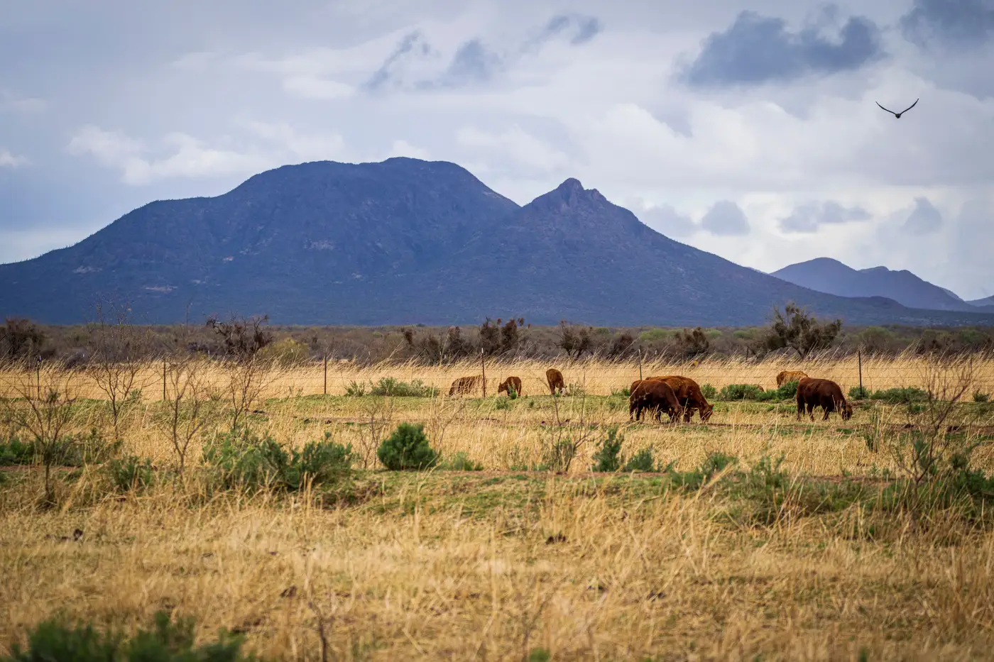
Anyone running cattle on sections instead of acres has run into the same math problem. A four-wheeler and a pair of binoculars can cover maybe a quarter section before lunch. A 10,000-acre allotment with broken country, timber pockets, and three water gaps isn't getting an accurate head count that way, not in one day and not by one person. So the question becomes which aerial option gets you a number you can trust: a drone, or a satellite pass.
What a drone count actually involves on a section of range
A drone count means someone drives out, sets up, and flies a grid pattern over the pasture at a low enough altitude to pick out individual animals. That works fine on a 160-acre trap. On a full section or a multi-section allotment, the battery math stops being friendly. Most consumer and even commercial ag drones fly 20 to 40 minutes a charge, and covering rough or timbered country at the altitude needed to tell a black baldy from a shadow eats batteries fast. You're looking at multiple flights, multiple battery swaps, and a return trip if cattle moved off water between the first pass and the last one.
Line of sight is the other limiter. FAA Part 107 rules keep most operations visual-line-of-sight, which means the pilot can't send the drone over a ridge and just trust the feed. On pastures with real topography, that forces a pattern of short hops from one high point to the next, with somebody driving the truck between launch spots. It's doable. It's also most of a day for one pasture, and it has to happen again next month if you want a trend instead of a snapshot.
Where satellite imagery earns its keep
A satellite pass skips the drive-and-launch cycle entirely. Very high resolution imagery, the kind fine enough to resolve individual head (0.3 meter ground sample distance or finer), covers an entire pasture or an entire allotment in one capture, regardless of how many ridges or draws are in the way. There's no line-of-sight limit because nothing is being piloted from the ground, and no battery swap because there's no battery to swap.
The tradeoff runs the other direction. A drone operator chooses the exact day and hour of the flight. A satellite tasking depends on the pass schedule and the weather cooperating, since cloud cover blocks an optical sensor the same way it blocks a drone camera, just over a wider area at once. For a monthly stocking-rate check rather than a same-day emergency count, that's rarely the deciding factor. It becomes one when a rancher needs eyes on a specific pasture today, not this week.
Picking between the two for big pasture work
The honest answer depends on what the count is for. A quick check on a small trap or a corral count where someone needs to verify a specific group right now still favors a drone in hand. A standing routine across pastures too large to walk or drive in a day, where the goal is catching an over-stocked or under-stocked paddock before the grass gives out, is a different job. That's a coverage and cadence problem more than a same-day problem, and it's the one satellite imagery is built for: one capture per pasture per month, no flight plan, no battery count, no line-of-sight ridge to work around.
For ranch managers juggling stocking rate across several pastures at once, Livestock Counting runs that monthly satellite count against pasture boundaries you supply and flags which paddocks are running hot on head count relative to the grass. If a drone still makes sense for the odd same-day check, that's a separate tool for a separate job. For the recurring question of which pasture needs cattle moved off it this month, give the offer a look.